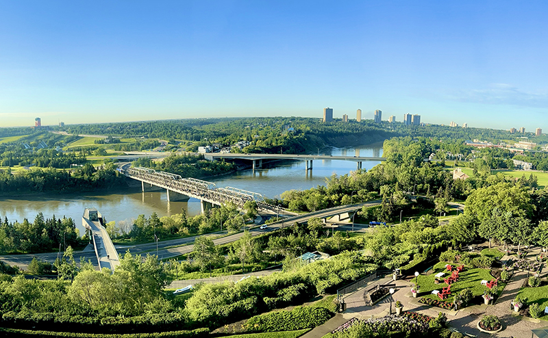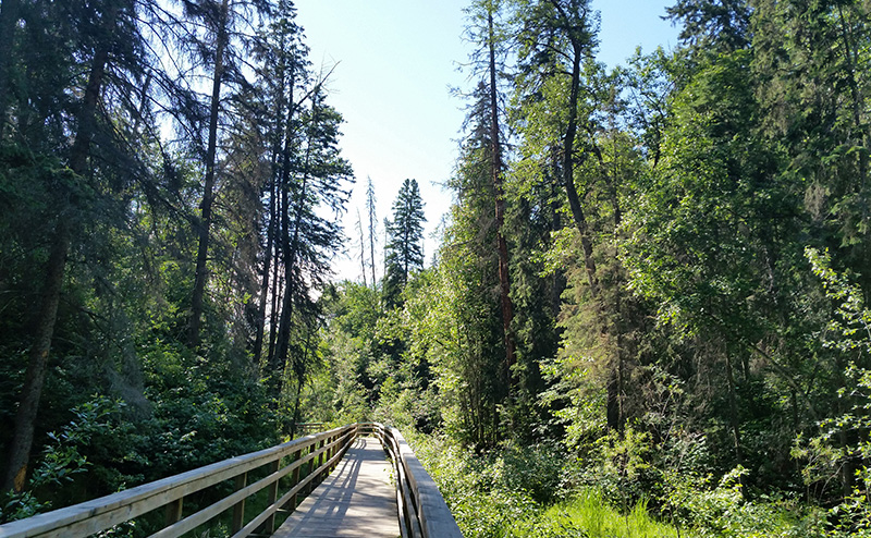
The City is committed to stewarding, preserving and protecting our natural areas.
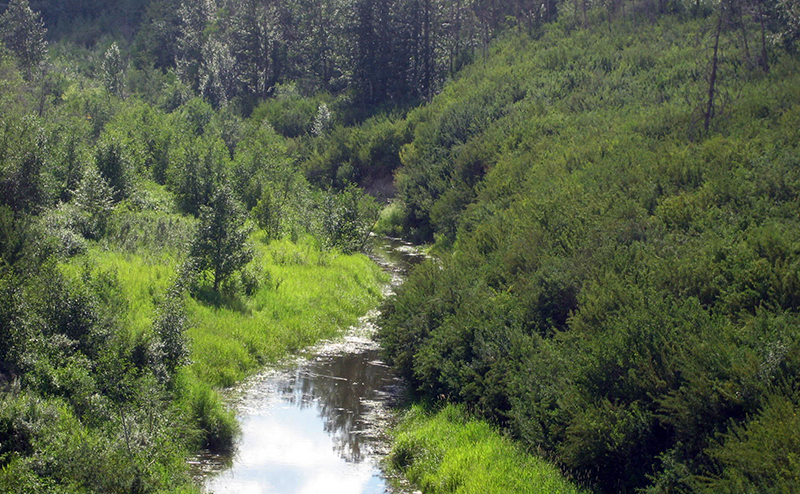
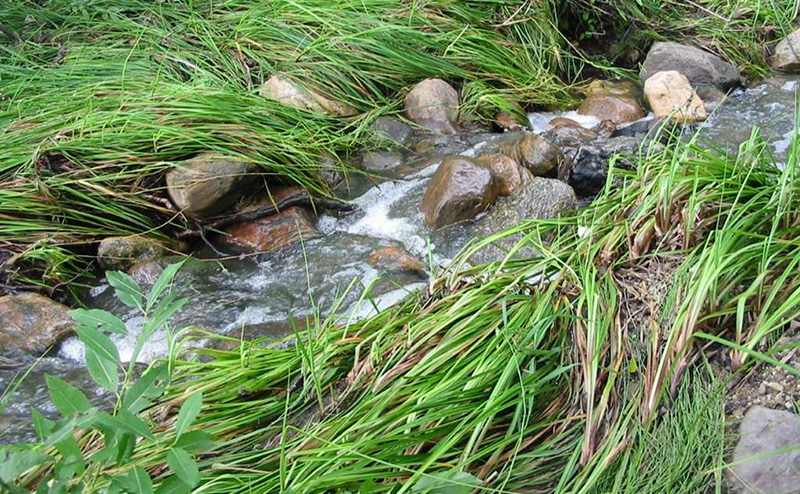
A natural area is an area of land or water that is dominated by native vegetation in naturally occurring patterns. This includes grasslands, forests, shrublands, wetlands, and riparian areas which are areas along rivers or streams. They are different from naturalized areas, which are previously maintained areas that have been or are in the process of being reverted into a more natural state. Currently, the City manages over 3,000 hectares of natural areas.
They offer many amazing benefits for our city and its ecosystems, such as:
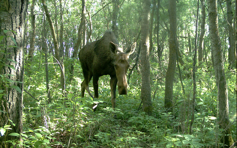
- Provide habitat for animals and other plants
- Capture carbon and release oxygen
- Reduce the urban heat-island effect by keeping the City cooler on hot days
- Filter water runoff
- Control erosion
- Provide areas for recreation as well as physical and mental wellness
- Increase property values
The City understands the importance of our natural areas and works to steward them so the benefits can continue for generations, appreciating over time. Our natural areas are largely left undisturbed to undergo natural succession processes. Yet there are times when, for ecological or safety reasons, people need to get involved in looking after a natural area. This is why the City has a dedicated Natural Area Operations team assigned to maintain and care for the long-term health of our natural areas by balancing ecological integrity with recreation and public safety.
The City-wide Natural Area Management Plan (7.06 MB) provides a detailed overview on how the City manages natural areas. The plan sets out guiding principles, management objectives and strategies that are common to all natural areas throughout the City. When a new natural area is protected, the objectives and strategies are applied to the new site. In addition, a site-specific management plan will be developed for that area. The site-specific plan provides additional management strategies based on the unique features and management requirements of that particular natural area. More specifics on the stewardship activities taken in natural areas can be found below. For additional information on specific natural areas, please contact 311.
The Natural Area Operations team has a dedicated Urban Forester that assesses trees around targets, for example, maintained trails and picnic sites, that may present a risk to people or property if they were to fall.
If a tree is identified as a higher risk, mitigation options will be explored. This may include:
- Pruning and removing dead branches or reducing the height of the tree while still maintaining the trunk for wildlife, which is called ‘habitating’
- Removing the tree entirely to minimize the risk of the tree causing injury or damage.
The City of Edmonton takes a thoughtful approach to managing wildland fire risk by combining it with efforts to create ecologically diverse and healthy natural areas, as outlined in our City Plan.
Overall risk for an area is currently assessed by examining factors such as:
- Slope - the steepness of the forest floor
- Aspect - the direction the forest faces
- Vegetation cover - which species are present
- Fuel type - type of material such as, logs, branches or grass
- Fuel continuity/pattern - scattered, clumped or continuous material on the forest floor
Mitigation measures may include:
- Removing or chipping a portion of the fuels
- Removing dead trees
- Pruning
- Placing leaning dead trees on the forest floor to encourage decomposition
- Access for Fire Rescue Services
- Planting more fire-resistant species
- Applying FireSmart principles on your own property
The Natural Area Operations team regularly assesses and prunes trees and shrubs along maintained trails (asphalt or gravel) to ensure safety clearances are being met. This involves pruning a 1 metre buffer along the sides of trails, and 3 metres for height clearance over the trail. Branches may need to be trimmed further back than the minimum safety clearances to ensure proper pruning cuts are made.
The City aims to remove trees that have fallen on maintained trails within 48 hours once reported. Major storm events may cause delays in meeting our 48 hour target. Fallen trees on unmaintained trails will not be removed.
Crews collect garbage along the trail network on a weekly basis.
Our trail crews use the trail system daily and are constantly monitoring them for any safety concerns. If you see a fallen tree blocking a maintained trail, any tripping hazards along a trail, low overhanging branches, or an overflowing garbage container, please contact 311.
The Natural Area Operations team has a crew dedicated to removing Regulated Weeds by mechanical means only. When removing weeds in natural areas, the team first considers the environmental sensitivity of an area, the population dynamics of the weed species present, and the distribution of the species. Areas are prioritized based on the species present and their stage of growth.
We also monitor areas where prohibited noxious weeds are found. It evaluates the efficacy of treatments and provides insight into the long-term damage that prohibited noxious weed species have on our natural area ecosystems.
Our Natural Area Management Technician works closely with our Integrated Pest Management Team to ensure the best strategy is used on weeds throughout Edmonton's natural areas. Visit Weeds for more information on how the City uses an integrated management approach.
Please contact 311 if you plan to remove a live tree for a construction or work project. Tree preservation and protection are very important in project planning, and our Urban Foresters can help walk you through the process to ensure the preservation of our natural stands.
Any tree removal in a natural area must first be approved by our Urban Forester. If it is within the North Saskatchewan River Valley and Ravine Area, it may also require a project review under the North Saskatchewan River Valley Area Redevelopment Plan. Approved plans will also be required prior to any tree removals.
If your project is within 10 metres of a natural stand, a Tree Permit may be required as per Public Tree Bylaw 18825. Visit Public Tree Permit for more information or to apply.
The Corporate Tree Management Policy and Procedure outline roles and responsibilities in managing the City of Edmonton Urban Forest and mechanisms to ensure preservation and protection. The Policy will be applied using the Natural Stand Valuation Guidelines if tree removals must occur.
Ecological monitoring is a critical part of natural area management. The Natural Area Operations team is completing ecological health surveys in various natural areas to better understand their current condition, and track changes over time.
Diseases and non-native species are part of our natural systems. The Natural Area Operations team will only intervene when there are Regulated Weeds impacting the natural area.
Examples of non-native species that are currently not managed:
- Manitoba maple
- European Mountain Ash
- Caragana
Examples of diseases that are currently not managed:
- Black Knot
- Canker
Frequently Asked Questions
Find out how the City is stewarding our natural areas for a healthier and more climate-resilient City. If you have a question that is not answered below, please contact 311.
Q. What does Natural Area Operations do?
A. The Natural Area Operations team stewards and cares for the long-term health of our natural areas by balancing ecological integrity with recreation and public safety. The team assesses areas for safety and fire risks, preservation during construction, and ecological health to ensure natural areas remain healthy and safe. The team also does pruning, snow clearing, litter removal, and mechanical weed control.
Q. What is the difference between Natural Areas and Naturalization?
A. A natural area is an area of land or water that is dominated by native vegetation in naturally occurring patterns. These are grasslands, forests, wetlands, shrublands and riparian areas (which are areas along rivers or streams). Naturalization is a process that transforms maintained land back to a more natural state. Some areas in the city that are now managed as natural areas originated through naturalization planting (for example, certain forested river valley or ravine areas). Naturalization can also be incorporated into new neighbourhoods and parks during initial design and build by developers and through City-run capital projects.
There are multiple teams involved in the stewardship of natural areas with different focuses on:
- Preserving, conserving, and acquiring more space for natural areas. Visit Natural Areas to learn more about our natural areas and the work that has been done to protect them.
- The City’s Open Space and Boulevard Trees, and preservation of our Urban Forest through the Corporate Tree Management Policy (C456C) and the Public Tree Bylaw 18825. Find out more about this at Urban Forestry.
- Stewardship activities in and around natural areas, such as tree and shrub planting. For more information on naturalization initiatives and planting events, please visit the Naturalization page.
Q. What is tree risk?
A. Tree risk is the likelihood that a tree will fail, combined with the severity of consequences should the tree fail. Not all trees will cause injury or damage if they were to fail, which is why it is important to have a risk assessment completed for every tree.
Q. What is Tree Risk Management?
A. Tree risk management identifies, evaluates, mitigates, monitors, and communicates tree risk. The Natural Area Operations team manages tree risk along the trail networks, roadways, picnic sites, viewpoints, sports fields and property lines.
Q. Which trees will be removed?
A. Only trees that present a potential safety risk to the public or property will be managed. These assessments are completed by an International Society of Arboriculture (ISA) Certified and Tree Risk Assessment Qualified Arborist using the ISA’s Best Management Practices for Tree Risk Assessment. Please contact 311 if you see a potential safety hazard.
Q. How are trees assessed?
A. Trees are determined to be a potential safety risk when there are defects that may cause part or the entire tree to fall over a target zone. Where possible, these trees will be 'habitated'.
Q. What is habitated?
A. Habitating refers to removing hazardous portions of the tree, while leaving the rest of it intact to provide valuable habitat for wildlife. Depending on the current site conditions, the brush may be left evenly spread out on the forest floor, chipped and blown into the stand, or hauled off site.
Q. When will the work be done?
A. Tree work, such as pruning for deadwood, habitating, and removing trees, is completed year-round. Most tree work in natural areas is scheduled in the fall and early winter to lessen the impacts on any nesting wildlife. While tree work is in progress, the best management practices for all wildlife are applied.
Q. Where will the work take place?
A. Natural Area Operations will be assessing the City’s natural areas along the trail networks, roadways, picnic sites, viewpoints, property lines and other target areas. The team will prioritize natural areas for work by compiling previous tree failure data, site assessments, and using the Urban Primary Land and Vegetation Index (uPLVI) to identify natural areas that are reaching maturity when tree mortality is higher. Priority will be given to requests from residents. Information regarding site-specific plans will be shared with the appropriate Neighbourhood Resource Coordinator once the assessment for that area has been completed.
Q. I am worried about a fire behind my house. What can the City do to reduce the risk of fire?
A. In the spring, there is an increased risk of fire because vegetation in all areas (grass, dead leaves, and dry conifers) are at their driest. Once the grass and trees begin to absorb moisture and become green, the risk of fire decreases significantly. However, there is always a risk of fire when vegetation is present.
Different types of natural areas have different risks of fire. Grasslands and deciduous forests tend or have less overall risk because they burn quickly and cannot hold a fire for long. Aspen trees are fire-resistant plants and do not readily ignite. Coniferous (pine or spruce) trees and longer grass burn more quickly than shrubs and deciduous trees. Boreal forests in northern Alberta have more fuels and tree resins which allow fires to burn for longer and at a higher temperature.
The Natural Area Operations team assesses fire risk in natural areas when doing other assessments or if a concerned resident calls 311. The team assesses factors such as:
- Slope - the steepness of the forest floor
- Aspect - the direction the forest faces
- Vegetation cover - which species are present
- Fuel type - the type of material such as, logs, branches or grass
- Fuel continuity/pattern - the scattered, clumped or continuous material on the forest floor
Mitigation measures may include:
- Removing or chipping a portion of the fuels
- Removing dead trees
- Pruning
- Placing leaning dead trees on the forest floor to encourage decomposition
- Access for Fire Rescue Services
- Planting more fire-resistant species
- Applying FireSmart principles on your own property
Q. What can I do to help reduce fire risk?
A. We all have an important role to play in reducing fire risk. You can help prevent fires in natural areas by:
- Calling 911 if you see smoke or fire
- Refraining from smoking in natural, naturalized and vegetation-covered areas
- Safely dispose of cigarettes in fire safe containers
- Observing all fire ban rules by not using unauthorized fire pits in parks or natural areas
- Not dumping yard debris in natural or naturalized areas as this adds to the available fuel for fires
- Composting to reduce household greens (grass) & browns (leaves)
- Applying FireSmart principles to your own property.
Q. There are a lot of downed trees in the natural area. Could these be cleaned up?
A. Dead trees play a vital role in the overall health of our natural areas. They provide habitat for nesting wildlife and beneficial insects, cycle nutrients, reduce erosion, store carbon that contributes to greenhouse gasses and retains soil moisture. However, the City will assess the area to determine if there is excessive wood debris that could increase fire risk. We may remove, spread out, mulch or leave downed trees in place based on assessment.
Q. Can I remove trees from a natural area?
A. All City of Edmonton trees are protected by the Corporate Tree Management Policy (C456C). Any live tree removals must be approved by an Urban Forester. To gain approval, please follow our Live Tree Removal Guidelines.
All vegetation on City-owned parkland is protected by the Public Spaces Bylaw.
Q. What is the City doing about weeds in natural areas?
A. The team considers the environmental sensitivity of an area when managing regulated weeds, as well as the population dynamics and distribution of the weed species. The mechanical weed control team ranks areas based on these factors and the weeds’ stage of growth. When prohibited noxious weeds are present, the team will consider this high priority and will work towards eradicating them. This includes monitoring areas where prohibited noxious weeds were found. The program continually evaluates mechanical treatments used and provides insight into the long-term damage that prohibited noxious weeds have on the natural area ecosystems. The team also works closely with the City’s Integrated Pest Management Team to determine if bio-control or herbicide applications are better suited for weed management.
Q. What should I do if I see weeds in a natural area?
A. Contact 311 with a description or photo of the weed. It is also important to include a global positioning system (GPS) location with your report to help us respond faster. If you are unsure on how to get GPS information and can use the 311 app, a GPS location will be submitted automatically with your report.
Q. I saw a plant that is taking over in a natural area and I want it to be controlled. What should I do?
A. Natural area plant communities are left to function and adapt to changing conditions naturally with as little interference as possible by City teams. Sometimes this may result in one plant dominating the others. There are many resources available that can help you identify what plants you are seeing and what that means for the natural area in your community. If you identify a plant that is a regulated weed, contact 311 as it may require attention.
Q. There is black knot on trees and shrubs in the natural area. Can these be removed?
A. Natural areas are permitted to grow following a natural cycle, including the process of death. Black knot fungus is not managed in natural areas for a few reasons. First, the mortality rate of an infected tree is very low. Second, the fungus is widespread across Edmonton and neighbouring municipalities, and as such, would be financially unviable to attempt to control in natural areas. Currently, Natural Area Operations is not funded to manage black knot in natural areas. It will only be managed if the tree presents a risk under our tree risk management strategy.
Q. What sort of permits and approvals do I require to request a tree be removed in a natural area?
- If you believe you have a tree that may be a hazard or is impacting your property, please call 311 and our Urban Forester will be happy to come assess the tree.
- If your request for removal is for a construction or work project, please call 311 and our Urban Forester will walk you through the process. They must approve any tree removal in a natural area. It may also require a project review under the North Saskatchewan River Valley Area Redevelopment Plan Bylaw 7188, or a Public Tree Permit as per the Public Tree Bylaw 18825. For more information on this process, please visit Public Tree Permit.
Q: There’s a broken tree over a trail and I don't know the address to provide to 311.
A: The City 311 app can collect a global positioning system (GPS) point for your entry automatically, which allows us to respond faster. Simply open the app, take a photo of the tree and fill out the remaining information and submit. A GPS point will be logged from the location where the concern was submitted, so be sure to report it while at the site.
Q. Can vegetation be removed from a natural area to help deter illegal activities?
A. Natural Area Operations does not support the removal of live vegetation to improve sightlines or views as a way to deter illegal activity. The removal of live vegetation is a temporary solution that has many negative ecological impacts.
- Our natural areas are currently facing many pressures in an urban environment, and we must minimize disturbance in these areas wherever possible to ensure our natural spaces continue to thrive.
- Other crime prevention through environmental design options should be looked into before considering removing live vegetation, such as planting deterrent species, lighting, security cameras, or increased patrols.
- The Natural Area Operations team will review each request to determine action required in the area which may help to alleviate security concerns. Action may include tree risk or fire risk mitigation, and pruning for infrastructure clearance. Otherwise, we will not consider removing live vegetation.
Q: Is the City doing anything to manage non-native trees in natural areas, such as mountain ash or caragana?
A: Currently, we do not manage non-native trees and shrubs in natural areas, as there exists a significant amount and more funding would be needed to cover the efforts to restore these areas. Trees and shrubs not native to Alberta, such as mountain ash (Sorbus aucuparia), Manitoba maple (Acer negundo), and caragana (Caragana arborescens) are established in natural areas but still provide benefits to the ecosystem.
Q: There is vegetation blocking the river valley views. Can these trees be removed?
A: The Natural Area Operations team prunes vegetation at designated viewpoints on a five year cycle. If it is not a designated viewpoint, the team will not remove any vegetation. Please call 311 if you believe the area is designated as a viewpoint or lookout.
Q. How can I get involved in taking care of a natural area?
A. The City recognizes the importance of community stewardship to ensure the health of our natural areas and is working to improve the ways that residents can get involved. Currently, the City offers opportunities to help look after our natural areas through tree-planting initiatives and volunteer weed pulls.
Q. Why is it important to stay on maintained trails?
A. Entering into natural areas can impact sensitive vegetation (like native orchids), disturb wildlife, expose yourself to unsafe conditions or plants, increase erosion and spread invasive species. There are also many wildlife critters that live in the understory of our forests or nest in tall grass and shrubs, which is why we leave standing and downed woody debris in natural areas.
The Public Spaces Bylaw aims to enforce the preservation of our natural areas by stating that ‘While on Parkland no person shall: (a) enter into any undeveloped or natural area other than on an Improved Trail or an Unimproved Trail'.
- Improved trails are those trails that are maintained, such as gravel and asphalt trails.
- Unimproved trails are those natural trails that have been established and are greater than a half meter width.
Q. What does the Natural Area Operations team do to maintain trails?
A. The City conducts regular pruning along gravel and asphalt trails to ensure safety clearances are met. This involves pruning a one metre buffer on the sides of trails, and a three metre buffer for height clearance. Branches may need to be trimmed further back than the minimum safety clearances to ensure proper pruning cuts are made.
Natural Area Operations will also remove any fallen trees that may be blocking maintained trails.
Contact Us
Natural Area Operations
Email naturalareaoperations@edmonton.ca
Phone In Edmonton: 311 | Outside Edmonton: 780-442-5311 | TTY: 780-944-5555


